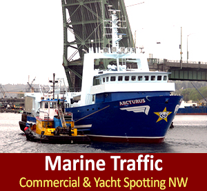
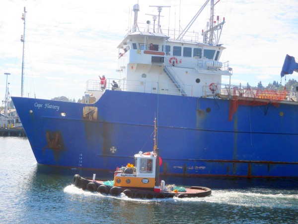
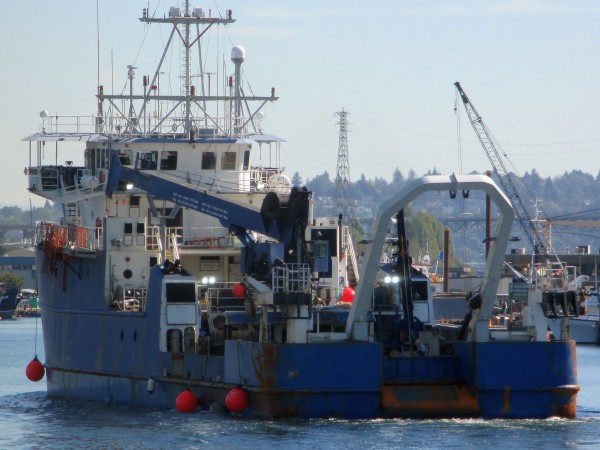
F/V Cape Flattery, NOAA Research Vessel, Fremont Tugboat, Ship Canal Marine Traffic
NOAA Scientists from Fisheries Science Center have recently done trips from Dutch Harbor AK in this past survey season of Alaska’s coast collecting data needed for seafood fisheries managers to consider and determine sustainable fishery harvest levels for upcoming AK commercial fishing seasons. The plans are by conducting two distinct surveys the annual eastern Bering Sea continental shelf survey and the biennial Gulf of AK continental shelf survey, M/V Cape Flattery is one of the vessels involved in these AK surveys.
F/V Cape Flattery, F/V Sea Storm, F/V Alaska Provider were the three vessels charted by NOAA for the Gulf of Alaska surveys. These surveys begin near the Island of the Four Mountains 180 miles SW of Dutch Harbor, AK and continue east to the USA and Canadian border just outside the Dixon entrance. The surveys ended in Ketchikan late August 2015.
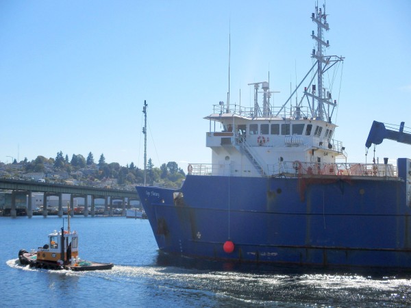
M/V Cape Flattery, NOAA Fisheries Scientists Collecting Data to Sustainable Alaska Fisheries
Each of the three vessels NOAA booked on this research charter each had bottom trawling time, F/V Cape Flattery, F/V Sea Storm, F/V Alaska Provider conducted 15 minute bottom trawl hauls at 800 reassigned stations using specifically designed nets with small meshes to capture a wide range of fish and invertebrates.
NOAA Scientists do a lot of work during these surveys, they are up to their elbows in sorting, weigh ins, and counting species collected by each trawl collection. Scientists have an emphasis on biological data for target species, while also collecting specimens and data on various species, as requested by cooperating scientists, agencies, and institutions. The Eastern Bering Sea Crab surveys are a collaborative effort between NOAA and the Alaska Department of Fish and Game.
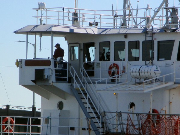
M/V Cape Flattery Captain Behind the Wheel in the Narrow Ship Canal for a Bridge Lift, NOAA Research Vessel
F/V Alaska Knight and F/V Vesteraalan surveyed the Bering Sea AK shelf between depths of 20 and 200m from Bristol Bay AK northward from June to August 2015, just wrapping up on these surveys.
NOAA Fisheries have been conducting these annual trawl surveys for the past 40 years. Their primary biological information that is collected includes relative abundance, size and age data of walleye Pollock, Pacific cod, yellowfin sole, northern rock sole, red king crab and snow and tanner crab. NOAA Scientists also collect physical data on surface and bottom sea temperatures.
NOAA Research Vessel M/V Cape Flattery, Gulf to Alaska Survey Research at Sea
The mission of NOAA is to understand and predicate changes in the earth’s environment, from the depths of the ocean to the surface of the sun, to conserve and manage our coastal and marine resources. Thank you to all teams involved in research surveys, Captains, Crew, and Scientists!